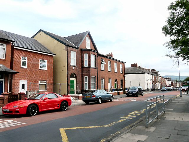
Church Street
Introduction
The photograph on this page of Church Street by Gerald England as part of the Geograph project.
The Geograph project started in 2005 with the aim of publishing, organising and preserving representative images for every square kilometre of Great Britain, Ireland and the Isle of Man.
There are currently over 7.5m images from over 14,400 individuals and you can help contribute to the project by visiting https://www.geograph.org.uk

Image: © Gerald England Taken: 16 Jul 2009
Opposite St George's C of E Primary School. The large property with the attic room was home to a dental practice in the 1980s and 90s. The left hand side of the original Victorian terrace was destroyed by a WWII bomb. In the 1970s the space was occupied by a garage but now a modern house has been built on the site.

