Rhosybol's north end
Introduction
The photograph on this page of Rhosybol's north end by Eric Jones as part of the Geograph project.
The Geograph project started in 2005 with the aim of publishing, organising and preserving representative images for every square kilometre of Great Britain, Ireland and the Isle of Man.

There are currently over 7.5m images from over 14,400 individuals and you can help contribute to the project by visiting https://www.geograph.org.uk
Rhosybol's north end
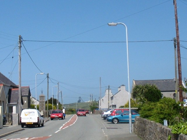
Image: © Eric Jones Taken: 29 May 2009
The village school, war memorial and Independent chapel are situated here.
Images are licensed for reuse under creativecommons.org/licenses/by-sa/2.0
Image Location
Latitude
53.373224
Longitude
-4.365024