Track to Intake Bottom Farm
Introduction
The photograph on this page of Track to Intake Bottom Farm by Stephen Craven as part of the Geograph project.
The Geograph project started in 2005 with the aim of publishing, organising and preserving representative images for every square kilometre of Great Britain, Ireland and the Isle of Man.

There are currently over 7.5m images from over 14,400 individuals and you can help contribute to the project by visiting https://www.geograph.org.uk
Track to Intake Bottom Farm
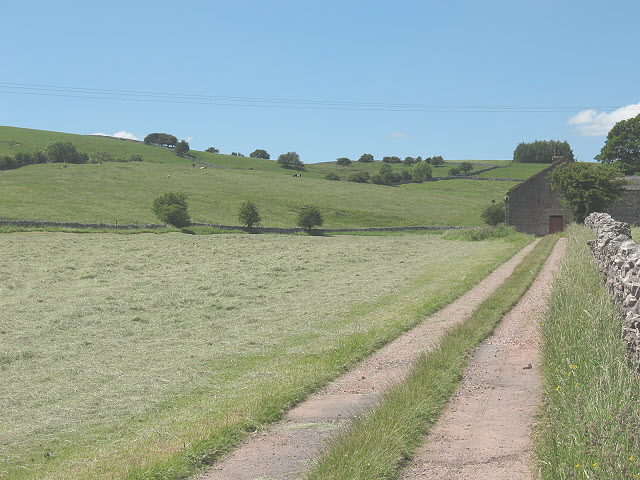
Image: © Stephen Craven Taken: 24 Jun 2009
The track is a public footpath up to just before the farm buildings at the right of the photo.
Images are licensed for reuse under creativecommons.org/licenses/by-sa/2.0
Image Location
Latitude
54.461261
Longitude
-2.360324