Pont Estyll Lane, Wentlooge Level
Introduction
The photograph on this page of Pont Estyll Lane, Wentlooge Level by Robin Drayton as part of the Geograph project.
The Geograph project started in 2005 with the aim of publishing, organising and preserving representative images for every square kilometre of Great Britain, Ireland and the Isle of Man.

There are currently over 7.5m images from over 14,400 individuals and you can help contribute to the project by visiting https://www.geograph.org.uk
Pont Estyll Lane, Wentlooge Level
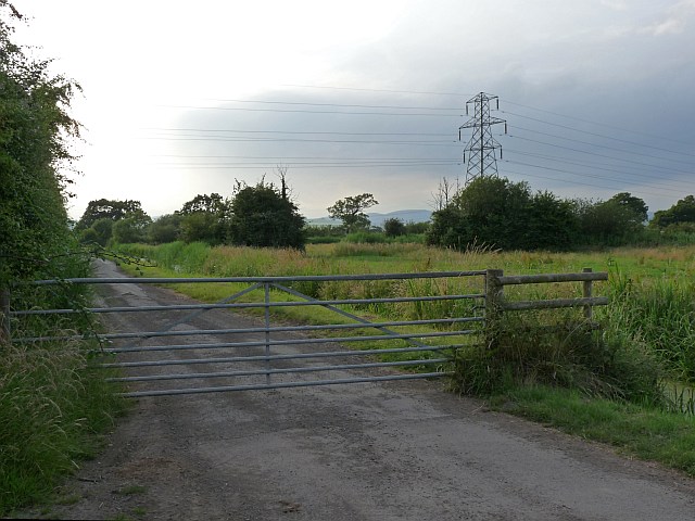
Image: © Robin Drayton Taken: 30 Jun 2009
On some maps, this road would appear to give a short cut across the Wentlooge Level to the A48 west of Newport. This is not so as can be seen here http://www.geograph.org.uk/photo/376563 .
Images are licensed for reuse under creativecommons.org/licenses/by-sa/2.0
Image Location
Latitude
51.542334
Longitude
-3.012358