Foxrush Farm Community Woodland
Introduction
The photograph on this page of Foxrush Farm Community Woodland by Mick Garratt as part of the Geograph project.
The Geograph project started in 2005 with the aim of publishing, organising and preserving representative images for every square kilometre of Great Britain, Ireland and the Isle of Man.

There are currently over 7.5m images from over 14,400 individuals and you can help contribute to the project by visiting https://www.geograph.org.uk
Foxrush Farm Community Woodland
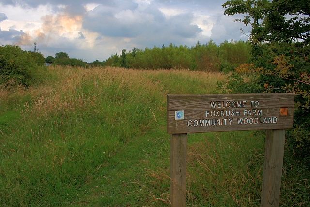
Image: © Mick Garratt Taken: 15 Jul 2009
The trees were planted in 1997 on the former fields of Foxrush Farm. See http://www.redcar-cleveland.gov.uk/main.nsf/Web+Full+List/10B84ADB4C00F87F80256CC3004A2634?OpenDocument
Images are licensed for reuse under creativecommons.org/licenses/by-sa/2.0
Image Location
Latitude
54.598296
Longitude
-1.100685