The Green, Seacroft
Introduction
The photograph on this page of The Green, Seacroft by Rich Tea as part of the Geograph project.
The Geograph project started in 2005 with the aim of publishing, organising and preserving representative images for every square kilometre of Great Britain, Ireland and the Isle of Man.

There are currently over 7.5m images from over 14,400 individuals and you can help contribute to the project by visiting https://www.geograph.org.uk
The Green, Seacroft
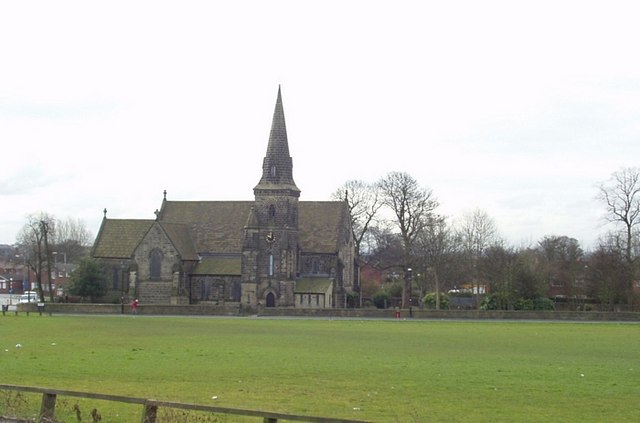
Image: © Rich Tea Taken: 21 Mar 2006
Looking south, with a small section of York Road just in view at the left. St James's Church on the far side. An old view can be seen on the Leodis website - http://www.leodis.org/display.aspx?id=2003108_38589114
Images are licensed for reuse under creativecommons.org/licenses/by-sa/2.0
Image Location
Latitude
53.819058
Longitude
-1.459218