Bidston Windmill in the distance
Introduction
The photograph on this page of Bidston Windmill in the distance by El Pollock as part of the Geograph project.
The Geograph project started in 2005 with the aim of publishing, organising and preserving representative images for every square kilometre of Great Britain, Ireland and the Isle of Man.

There are currently over 7.5m images from over 14,400 individuals and you can help contribute to the project by visiting https://www.geograph.org.uk
Bidston Windmill in the distance
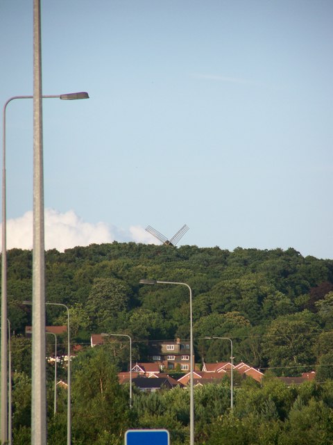
Image: © El Pollock Taken: 15 Jul 2009
Bidston Windmill peeks out above the treeline of Bidston Ridge. The picture is taken from Upton park, the M53 Moreton Spur motorway junction is in between.
Images are licensed for reuse under creativecommons.org/licenses/by-sa/2.0
Image Location
Latitude
53.396594
Longitude
-3.073732