Wheat field at Betchworth
Introduction
The photograph on this page of Wheat field at Betchworth by Stephen Craven as part of the Geograph project.
The Geograph project started in 2005 with the aim of publishing, organising and preserving representative images for every square kilometre of Great Britain, Ireland and the Isle of Man.

There are currently over 7.5m images from over 14,400 individuals and you can help contribute to the project by visiting https://www.geograph.org.uk
Wheat field at Betchworth
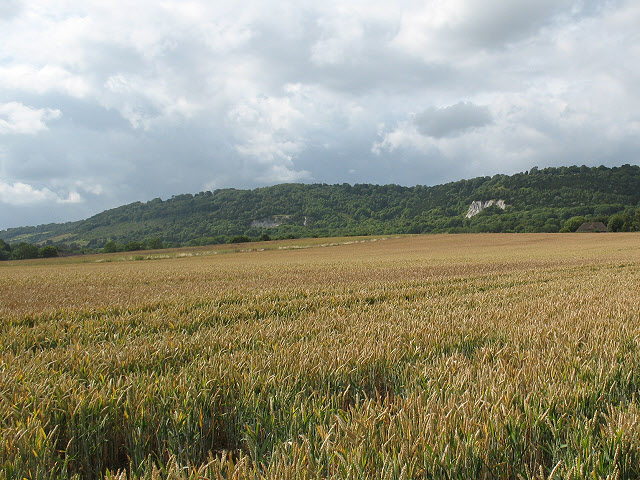
Image: © Stephen Craven Taken: 15 Jul 2009
A large field on the relatively flat land at the foot of the North Downs escarpment (visible in the background), photographed from the public footpath that runs along its eastern edge.
Images are licensed for reuse under creativecommons.org/licenses/by-sa/2.0
Image Location
Latitude
51.237551
Longitude
-0.26955