From Birkenhead North station platform
Introduction
The photograph on this page of From Birkenhead North station platform by El Pollock as part of the Geograph project.
The Geograph project started in 2005 with the aim of publishing, organising and preserving representative images for every square kilometre of Great Britain, Ireland and the Isle of Man.

There are currently over 7.5m images from over 14,400 individuals and you can help contribute to the project by visiting https://www.geograph.org.uk
From Birkenhead North station platform
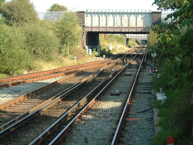
Image: © El Pollock Taken: 5 Sep 2004
Looking halfway to Birkenhead Park station. Underneath, nearest, Ilchester Road, Buccleuch Street &, furthest, Lincoln Street girder road bridges. Formerly known as 'bomb alley' to train drivers, due to the nature of having to travel underneath the bridges, in one of the roughest parts of Birkenhead, before the River Street houses were demolished. The redbrick tunnel archway, barely visible in the distance, goes beneath Corporation Road.
Images are licensed for reuse under creativecommons.org/licenses/by-sa/2.0
Image Location
Latitude
53.403766
Longitude
-3.055712