Union Street - Yeovil
Introduction
The photograph on this page of Union Street - Yeovil by Sarah Smith as part of the Geograph project.
The Geograph project started in 2005 with the aim of publishing, organising and preserving representative images for every square kilometre of Great Britain, Ireland and the Isle of Man.

There are currently over 7.5m images from over 14,400 individuals and you can help contribute to the project by visiting https://www.geograph.org.uk
Union Street - Yeovil
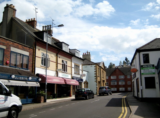
Image: © Sarah Smith Taken: 15 Jul 2009
The block of modern flats facing the junction with South Street are visible at the end of Union Street. The trees over the roof of the flats are growing on Penn Hill.
Images are licensed for reuse under creativecommons.org/licenses/by-sa/2.0
Image Location
Latitude
50.940473
Longitude
-2.631308