Mystery roundhouse
Introduction
The photograph on this page of Mystery roundhouse by BrianPritchard as part of the Geograph project.
The Geograph project started in 2005 with the aim of publishing, organising and preserving representative images for every square kilometre of Great Britain, Ireland and the Isle of Man.

There are currently over 7.5m images from over 14,400 individuals and you can help contribute to the project by visiting https://www.geograph.org.uk
Mystery roundhouse
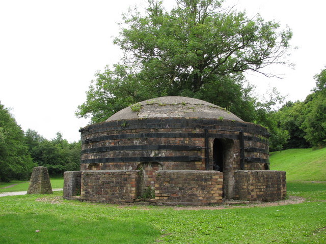
Image: © BrianPritchard Taken: 14 Jul 2009
This brick built roundhouse stands next to King's Mills. The wall has been strengthened with metal bands, around the outside.
Images are licensed for reuse under creativecommons.org/licenses/by-sa/2.0
Image Location
Latitude
53.035137
Longitude
-2.979723