Northern cycling route, Bristol
Introduction
The photograph on this page of Northern cycling route, Bristol by Derek Harper as part of the Geograph project.
The Geograph project started in 2005 with the aim of publishing, organising and preserving representative images for every square kilometre of Great Britain, Ireland and the Isle of Man.

There are currently over 7.5m images from over 14,400 individuals and you can help contribute to the project by visiting https://www.geograph.org.uk
Northern cycling route, Bristol
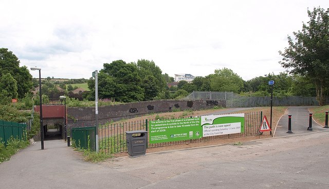
Image: © Derek Harper Taken: 10 Jul 2009
In 2008, Greater Bristol was chosen as England's first official Cycling City, and this is part of a recently-completed section of a major cycling route into the centre of the city from the northern suburbs. It is also the site of Ashley Hill Station, which closed in 1964 after almost exactly 100 years of use. The path on the left crosses under the railway line to Station Lane and Muller Road. Seen from Station Road.
Images are licensed for reuse under creativecommons.org/licenses/by-sa/2.0
Image Location
Latitude
51.478834
Longitude
-2.577373