Saltisford, Warwick
Introduction
The photograph on this page of Saltisford, Warwick by Robin Stott as part of the Geograph project.
The Geograph project started in 2005 with the aim of publishing, organising and preserving representative images for every square kilometre of Great Britain, Ireland and the Isle of Man.

There are currently over 7.5m images from over 14,400 individuals and you can help contribute to the project by visiting https://www.geograph.org.uk
Saltisford, Warwick
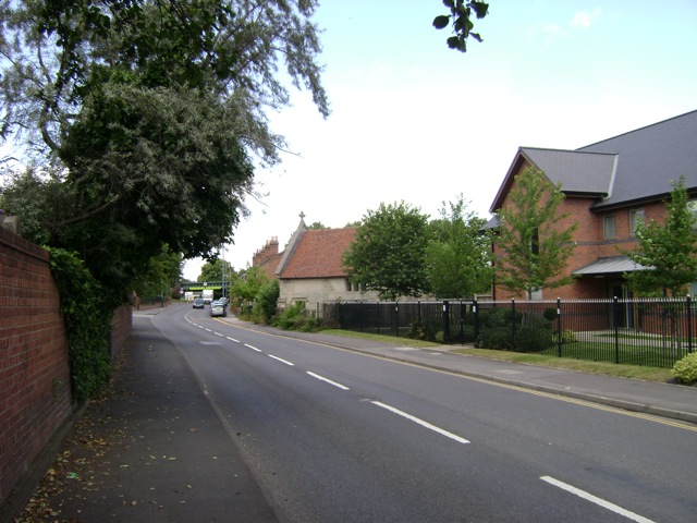
Image: © Robin Stott Taken: 13 Jul 2009
A former chapel, aligned east-west, breaks the building line. Saltisford becomes the Birmingham Road beyond the railway bridge.
Images are licensed for reuse under creativecommons.org/licenses/by-sa/2.0
Image Location
Latitude
52.285152
Longitude
-1.59682