Yarnfield Common Wood
Introduction
The photograph on this page of Yarnfield Common Wood by Phil Williams as part of the Geograph project.
The Geograph project started in 2005 with the aim of publishing, organising and preserving representative images for every square kilometre of Great Britain, Ireland and the Isle of Man.

There are currently over 7.5m images from over 14,400 individuals and you can help contribute to the project by visiting https://www.geograph.org.uk
Yarnfield Common Wood
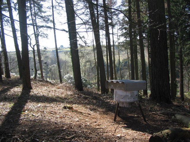
Image: © Phil Williams Taken: 19 Mar 2006
A view looking southwest from the southern end of Yarnfield Common Wood. There are a number of these structures within the woodland, I would guess that they may be pheasant feeders, and would welcome any update on this.
Images are licensed for reuse under creativecommons.org/licenses/by-sa/2.0
Image Location
Latitude
51.14806
Longitude
-2.305891