Beneath bridges, Salisbury
Introduction
The photograph on this page of Beneath bridges, Salisbury by Derek Harper as part of the Geograph project.
The Geograph project started in 2005 with the aim of publishing, organising and preserving representative images for every square kilometre of Great Britain, Ireland and the Isle of Man.

There are currently over 7.5m images from over 14,400 individuals and you can help contribute to the project by visiting https://www.geograph.org.uk
Beneath bridges, Salisbury
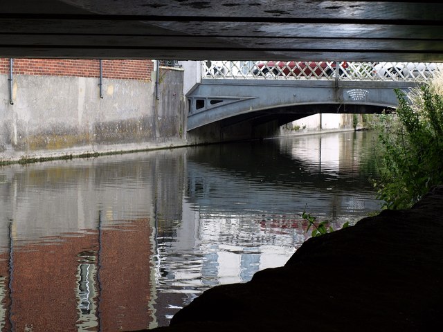
Image: © Derek Harper Taken: 10 Jul 2009
The River Avon flows towards the centre of the city. Taken from beneath Churchill Way West, the A36 northern bypass, and looking towards the Scamell's Road bridge, which is seen from the other direction in Image The lettering reads "Joseph Butler & Co, Stanningley Iron Works, nr Leeds, 1857".
Images are licensed for reuse under creativecommons.org/licenses/by-sa/2.0
Image Location


Leaflet Map data © OpenStreetMap
Latitude
51.075272
Longitude
-1.798402