Farleys End Gloucestershire
Introduction
The photograph on this page of Farleys End Gloucestershire by Vincent Jones as part of the Geograph project.
The Geograph project started in 2005 with the aim of publishing, organising and preserving representative images for every square kilometre of Great Britain, Ireland and the Isle of Man.

There are currently over 7.5m images from over 14,400 individuals and you can help contribute to the project by visiting https://www.geograph.org.uk
Farleys End Gloucestershire
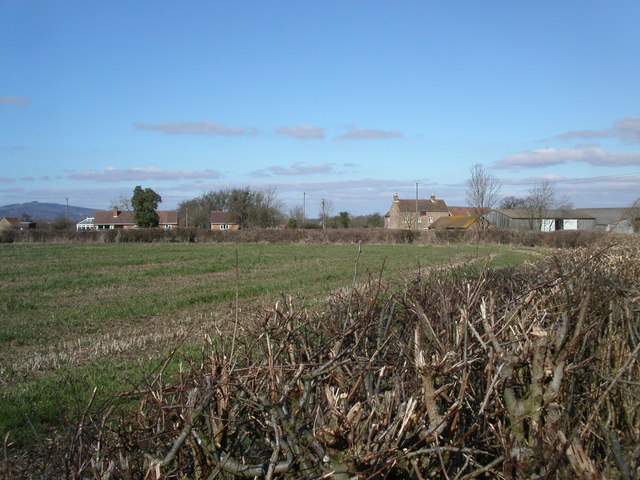
Image: © Vincent Jones Taken: 19 Mar 2006
The small village of Farleys End lies close to the river Severn. In the background to the left at a distance of 10 kilometres is May Hill and Newent Woods.
Images are licensed for reuse under creativecommons.org/licenses/by-sa/2.0
Image Location
Latitude
51.835209
Longitude
-2.332298