A466 at Buckholt
Introduction
The photograph on this page of A466 at Buckholt by Jonathan Billinger as part of the Geograph project.
The Geograph project started in 2005 with the aim of publishing, organising and preserving representative images for every square kilometre of Great Britain, Ireland and the Isle of Man.

There are currently over 7.5m images from over 14,400 individuals and you can help contribute to the project by visiting https://www.geograph.org.uk
A466 at Buckholt
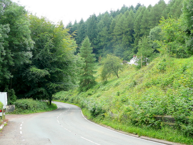
Image: © Jonathan Billinger Taken: 14 Jul 2009
Looking downhill, south, towards Monmouth. The road follows the deep wooded valley of the Mally Brook.
Images are licensed for reuse under creativecommons.org/licenses/by-sa/2.0
Image Location
Latitude
51.846431
Longitude
-2.718523