New fish pass at Osbaston Weir 2
Introduction
The photograph on this page of New fish pass at Osbaston Weir 2 by Jonathan Billinger as part of the Geograph project.
The Geograph project started in 2005 with the aim of publishing, organising and preserving representative images for every square kilometre of Great Britain, Ireland and the Isle of Man.

There are currently over 7.5m images from over 14,400 individuals and you can help contribute to the project by visiting https://www.geograph.org.uk
New fish pass at Osbaston Weir 2
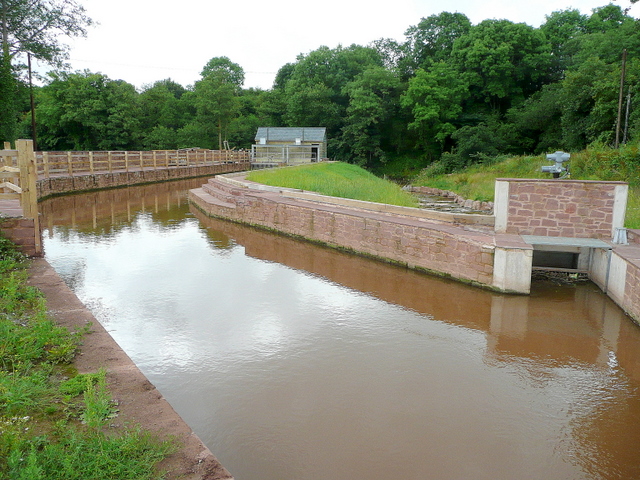
Image: © Jonathan Billinger Taken: 14 Jul 2009
Recently completed, this construction allows salmon to enter the Monnow system by negotiating the weir built 90 years ago.
Images are licensed for reuse under creativecommons.org/licenses/by-sa/2.0
Image Location
Latitude
51.82131
Longitude
-2.724362