River Avon near Amesbury
Introduction
The photograph on this page of River Avon near Amesbury by Derek Harper as part of the Geograph project.
The Geograph project started in 2005 with the aim of publishing, organising and preserving representative images for every square kilometre of Great Britain, Ireland and the Isle of Man.

There are currently over 7.5m images from over 14,400 individuals and you can help contribute to the project by visiting https://www.geograph.org.uk
River Avon near Amesbury
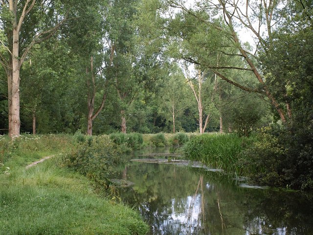
Image: © Derek Harper Taken: 10 Jul 2009
A placid stretch of river winds away from the camera past poplars after passing under the A303 about 50 metres upstream. The path is part of Lords Walk.
Images are licensed for reuse under creativecommons.org/licenses/by-sa/2.0
Image Location
Latitude
51.177738
Longitude
-1.774781