South bank of the Milford Haven near Pembroke Dock
Introduction
The photograph on this page of South bank of the Milford Haven near Pembroke Dock by Garth Newton as part of the Geograph project.
The Geograph project started in 2005 with the aim of publishing, organising and preserving representative images for every square kilometre of Great Britain, Ireland and the Isle of Man.

There are currently over 7.5m images from over 14,400 individuals and you can help contribute to the project by visiting https://www.geograph.org.uk
South bank of the Milford Haven near Pembroke Dock
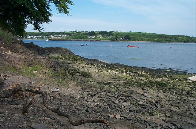
Image: © Garth Newton Taken: 19 Jul 2002
The buildings on the other side are at Burton Ferry.
Images are licensed for reuse under creativecommons.org/licenses/by-sa/2.0
Image Location


Leaflet Map data © OpenStreetMap
Latitude
51.700296
Longitude
-4.920079