Corfe Mullen: postbox № BH18 118, Corfe Lodge Road
Introduction
The photograph on this page of Corfe Mullen: postbox № BH18 118, Corfe Lodge Road by Chris Downer as part of the Geograph project.
The Geograph project started in 2005 with the aim of publishing, organising and preserving representative images for every square kilometre of Great Britain, Ireland and the Isle of Man.

There are currently over 7.5m images from over 14,400 individuals and you can help contribute to the project by visiting https://www.geograph.org.uk
Corfe Mullen: postbox № BH18 118, Corfe Lodge Road
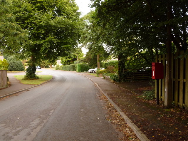
Image: © Chris Downer Taken: 12 Jul 2009
This bit of Corfe Mullen marks a little postal boundary anomaly. The Roman Road, just to the east, marks the boundary of Corfe Mullen (in East Dorset and mostly the BH21 postcode district) and Broadstone (in Poole and BH18). However, since this bit of Corfe Mullen is accessible only by crossing Roman Road, it quite logically receives its post via Broadstone. We thus have the situation that the properties in Corfe Lodge Road pay their council tax to East Dorset but have letters addressed as Broadstone. The postbox is emptied finally at 5:15pm on weekdays and at 11:45am on Saturdays.
Images are licensed for reuse under creativecommons.org/licenses/by-sa/2.0
Image Location
Latitude
50.758733
Longitude
-2.014976