Broadstone: postbox № BH18 146, Clarendon Road
Introduction
The photograph on this page of Broadstone: postbox № BH18 146, Clarendon Road by Chris Downer as part of the Geograph project.
The Geograph project started in 2005 with the aim of publishing, organising and preserving representative images for every square kilometre of Great Britain, Ireland and the Isle of Man.

There are currently over 7.5m images from over 14,400 individuals and you can help contribute to the project by visiting https://www.geograph.org.uk
Broadstone: postbox № BH18 146, Clarendon Road
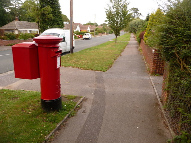
Image: © Chris Downer Taken: 12 Jul 2009
This Elizabeth II-reign postbox stands at the western end of Clarendon Road, with Roman Road immediately behind us – the latter is also the boundary of Poole borough and East Dorset district. The box is emptied finally at 5:30pm on weekdays and at 11:45am on Saturdays.
Images are licensed for reuse under creativecommons.org/licenses/by-sa/2.0
Image Location
Latitude
50.758284
Longitude
-2.01129