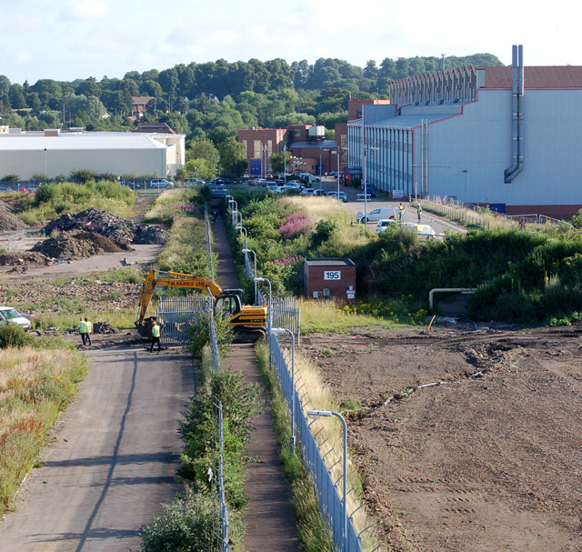
Looking north along the black path
Introduction
The photograph on this page of Looking north along the black path by Andy F as part of the Geograph project.
The Geograph project started in 2005 with the aim of publishing, organising and preserving representative images for every square kilometre of Great Britain, Ireland and the Isle of Man.
There are currently over 7.5m images from over 14,400 individuals and you can help contribute to the project by visiting https://www.geograph.org.uk

Image: © Andy F Taken: 13 Jul 2009
This is the view north along the 'black path' from the footbridge over the west coast mainline railway west of Rugby station. The tracked excavator is crossing the path from one demolition site to another. The 'black path' and footbridge connects the town centre to the substantial housing estates at Brownsover and was once the main pedestrian route from the town to the now-demolished engineering works. For a view of the engineering works before demolition see [http://www.geograph.org.uk/photo/6771] . For another view of the demolished site of the former engineering works see [http://www.geograph.org.uk/photo/861937] .

