Wyck, Tisbury
Introduction
The photograph on this page of Wyck, Tisbury by Derek Harper as part of the Geograph project.
The Geograph project started in 2005 with the aim of publishing, organising and preserving representative images for every square kilometre of Great Britain, Ireland and the Isle of Man.

There are currently over 7.5m images from over 14,400 individuals and you can help contribute to the project by visiting https://www.geograph.org.uk
Wyck, Tisbury
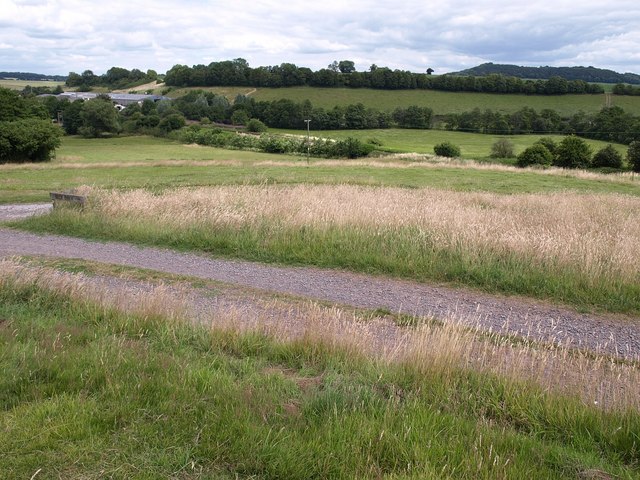
Image: © Derek Harper Taken: 9 Jul 2009
Like Image, a view across the site of the medieval village of Wyck, built on a sloping platform above the Nadder valley in the background, which is crossed by the railway line from Yeovil. In the foreground a track leads to Wick Farm, built on the southeast side of the earthworks; the track just joining it on the extreme left leads to the other side of the same farm. http://www.heritagegateway.org.uk/Gateway/Results_Single.aspx?uid=210473&resourceID=2
Images are licensed for reuse under creativecommons.org/licenses/by-sa/2.0
Image Location
Latitude
51.0577
Longitude
-2.084276