Road junction, Tisbury
Introduction
The photograph on this page of Road junction, Tisbury by Derek Harper as part of the Geograph project.
The Geograph project started in 2005 with the aim of publishing, organising and preserving representative images for every square kilometre of Great Britain, Ireland and the Isle of Man.

There are currently over 7.5m images from over 14,400 individuals and you can help contribute to the project by visiting https://www.geograph.org.uk
Road junction, Tisbury
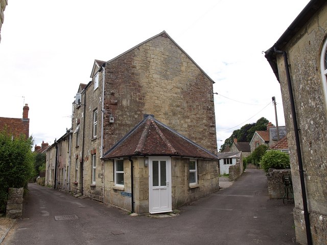
Image: © Derek Harper Taken: 9 Jul 2009
The junction of Temperance Row (left) with The Quarry (right). "The consistent use of dressed Tisbury stone, no doubt quarried from the ground upon which the houses sit, contributes to the cohesion of the character area and makes for memorable townscape." http://www.salisbury.gov.uk/tisbury_caa.pdf
Images are licensed for reuse under creativecommons.org/licenses/by-sa/2.0
Image Location
Latitude
51.066515
Longitude
-2.081152