2009 : A429 south at Plough Lane
Introduction
The photograph on this page of 2009 : A429 south at Plough Lane by Maurice Pullin as part of the Geograph project.
The Geograph project started in 2005 with the aim of publishing, organising and preserving representative images for every square kilometre of Great Britain, Ireland and the Isle of Man.

There are currently over 7.5m images from over 14,400 individuals and you can help contribute to the project by visiting https://www.geograph.org.uk
2009 : A429 south at Plough Lane
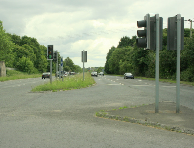
Image: © Maurice Pullin Taken: 20 Jun 2009
Subtitle: The uglification of Wiltshire. The intrepid geographer risks life and limb in pursuit of his picture. It wasn't that risky really he was standing at the end of the central reservation and the traffic lights helped him get there. Chippenham centre is about 2 miles that way.
Images are licensed for reuse under creativecommons.org/licenses/by-sa/2.0
Image Location
Latitude
51.48621
Longitude
-2.128272