Approaching the level crossing, Broadoak
Introduction
The photograph on this page of Approaching the level crossing, Broadoak by Pauline E as part of the Geograph project.
The Geograph project started in 2005 with the aim of publishing, organising and preserving representative images for every square kilometre of Great Britain, Ireland and the Isle of Man.

There are currently over 7.5m images from over 14,400 individuals and you can help contribute to the project by visiting https://www.geograph.org.uk
Approaching the level crossing, Broadoak
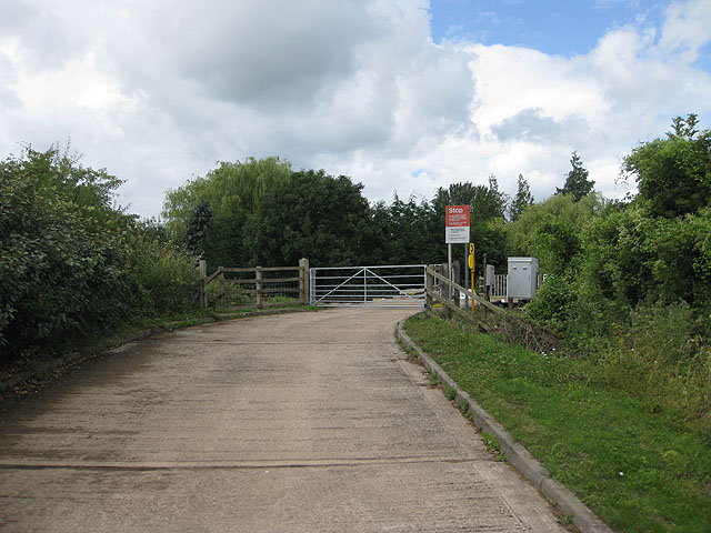
Image: © Pauline E Taken: 12 Jul 2009
Crossing the Gloucester to South Wales railway line. To the left, behind the hedge is the sewage works.
Images are licensed for reuse under creativecommons.org/licenses/by-sa/2.0
Image Location
Latitude
51.817343
Longitude
-2.434689