Farm Road Eastfield
Introduction
The photograph on this page of Farm Road Eastfield by Martin Dawes as part of the Geograph project.
The Geograph project started in 2005 with the aim of publishing, organising and preserving representative images for every square kilometre of Great Britain, Ireland and the Isle of Man.

There are currently over 7.5m images from over 14,400 individuals and you can help contribute to the project by visiting https://www.geograph.org.uk
Farm Road Eastfield
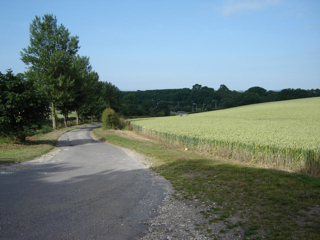
Image: © Martin Dawes Taken: 11 Jul 2009
The farm road from High Eastfield Farm down to the A64 at Crossgates roundabout which can be glimpsed over the cornfield
Images are licensed for reuse under creativecommons.org/licenses/by-sa/2.0
Image Location
Latitude
54.247526
Longitude
-0.41278