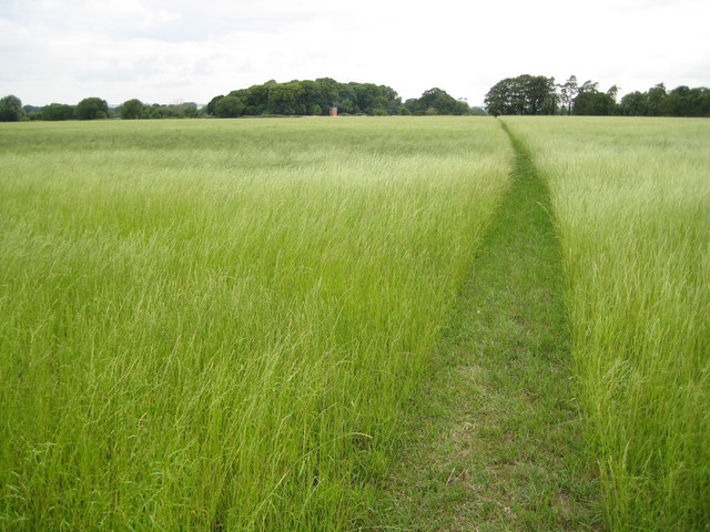
Patney: Footpath near Home Farm
Introduction
The photograph on this page of Patney: Footpath near Home Farm by Nigel Cox as part of the Geograph project.
The Geograph project started in 2005 with the aim of publishing, organising and preserving representative images for every square kilometre of Great Britain, Ireland and the Isle of Man.
There are currently over 7.5m images from over 14,400 individuals and you can help contribute to the project by visiting https://www.geograph.org.uk

Image: © Nigel Cox Taken: 10 Jul 2009
This footpath leads from Patney to the site of the former Patney and Chirton Junction station. This is one of those locations where the route of an historic right of way was diverted many years ago, but the new route has not yet been picked up by the Ordnance Survey. In this case the footpath is shown on the mapping running in a diagonal straight line. In practice the footpath runs due west from the road through Patney for about 100 metres before turning to the north-west. Image with the brick structure in front can be seen in the distance.

