Bridge to Broughton Hall
Introduction
The photograph on this page of Bridge to Broughton Hall by Stephen Craven as part of the Geograph project.
The Geograph project started in 2005 with the aim of publishing, organising and preserving representative images for every square kilometre of Great Britain, Ireland and the Isle of Man.

There are currently over 7.5m images from over 14,400 individuals and you can help contribute to the project by visiting https://www.geograph.org.uk
Bridge to Broughton Hall
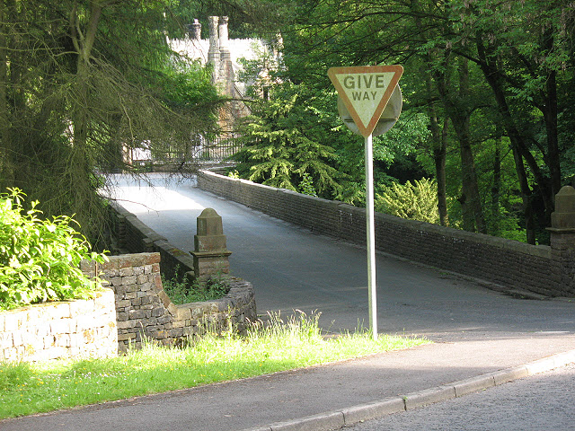
Image: © Stephen Craven Taken: 21 Jun 2009
The bridge itself is a public highway, as immediately beyond it a minor road to the right leads to Elslack. But it appears to have been built mainly to give access to Broughton Hall (straight on over the bridge into the drive).
Images are licensed for reuse under creativecommons.org/licenses/by-sa/2.0
Image Location
Latitude
53.954428
Longitude
-2.092614