St Cuthbert's Kirk East Calder
Introduction
The photograph on this page of St Cuthbert's Kirk East Calder by Jim Smillie as part of the Geograph project.
The Geograph project started in 2005 with the aim of publishing, organising and preserving representative images for every square kilometre of Great Britain, Ireland and the Isle of Man.

There are currently over 7.5m images from over 14,400 individuals and you can help contribute to the project by visiting https://www.geograph.org.uk
St Cuthbert's Kirk East Calder
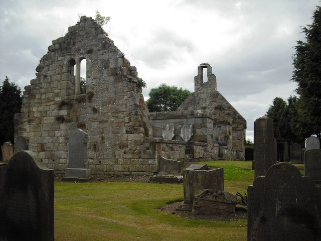
Image: © Jim Smillie Taken: 9 Jul 2009
16th century church abandoned in 1750 when the parish was united with Kirknewton.
Images are licensed for reuse under creativecommons.org/licenses/by-sa/2.0
Image Location
Latitude
55.894582
Longitude
-3.466312