Liddell Water
Introduction
The photograph on this page of Liddell Water by Anne Burgess as part of the Geograph project.
The Geograph project started in 2005 with the aim of publishing, organising and preserving representative images for every square kilometre of Great Britain, Ireland and the Isle of Man.

There are currently over 7.5m images from over 14,400 individuals and you can help contribute to the project by visiting https://www.geograph.org.uk
Liddell Water
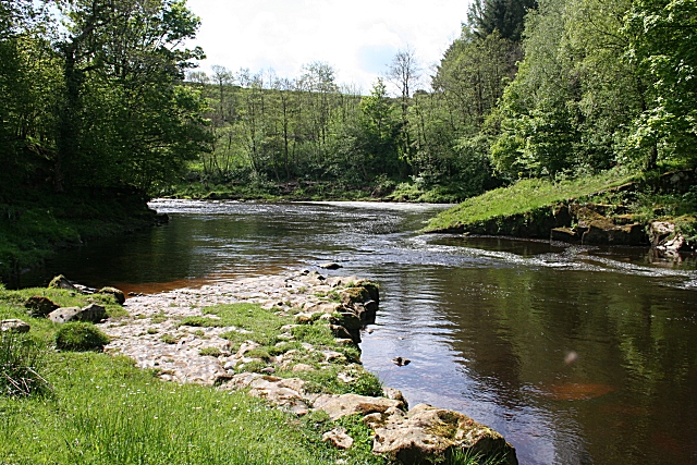
Image: © Anne Burgess Taken: 21 May 2009
A few metres upstream of Penton Bridge, a gently tilting shelf of hard limestone almost looks as if it had been built out into the river.
Images are licensed for reuse under creativecommons.org/licenses/by-sa/2.0
Image Location


Leaflet Map data © OpenStreetMap
Latitude
55.087062
Longitude
-2.889821