Ash Lane, Hawarden
Introduction
The photograph on this page of Ash Lane, Hawarden by John S Turner as part of the Geograph project.
The Geograph project started in 2005 with the aim of publishing, organising and preserving representative images for every square kilometre of Great Britain, Ireland and the Isle of Man.

There are currently over 7.5m images from over 14,400 individuals and you can help contribute to the project by visiting https://www.geograph.org.uk
Ash Lane, Hawarden
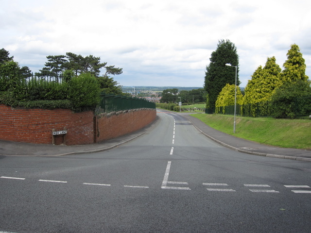
Image: © John S Turner Taken: 11 Jul 2009
Looking across Cross Tree Lane towards Ash Lane. The north eastern gateway to St Deiniol's churchyard is behind the camera - see Image
Images are licensed for reuse under creativecommons.org/licenses/by-sa/2.0
Image Location
Latitude
53.187216
Longitude
-3.024942