Highside Farm
Introduction
The photograph on this page of Highside Farm by Geoff Royle as part of the Geograph project.
The Geograph project started in 2005 with the aim of publishing, organising and preserving representative images for every square kilometre of Great Britain, Ireland and the Isle of Man.

There are currently over 7.5m images from over 14,400 individuals and you can help contribute to the project by visiting https://www.geograph.org.uk
Highside Farm
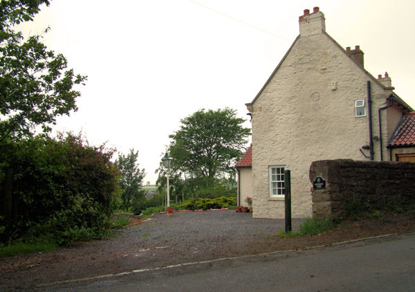
Image: © Geoff Royle Taken: 13 Jun 2007
There is a panorama over the far boundary which includes Darlington and the Cleveland hills. In the 1841 census, the house was the family home of a local Registrar and farmer, William Wilkinson.http://www.g4fas.net/highside.html
Images are licensed for reuse under creativecommons.org/licenses/by-sa/2.0
Image Location
Latitude
54.598283
Longitude
-1.62978