Houses at Powfoot
Introduction
The photograph on this page of Houses at Powfoot by Anne Burgess as part of the Geograph project.
The Geograph project started in 2005 with the aim of publishing, organising and preserving representative images for every square kilometre of Great Britain, Ireland and the Isle of Man.

There are currently over 7.5m images from over 14,400 individuals and you can help contribute to the project by visiting https://www.geograph.org.uk
Houses at Powfoot
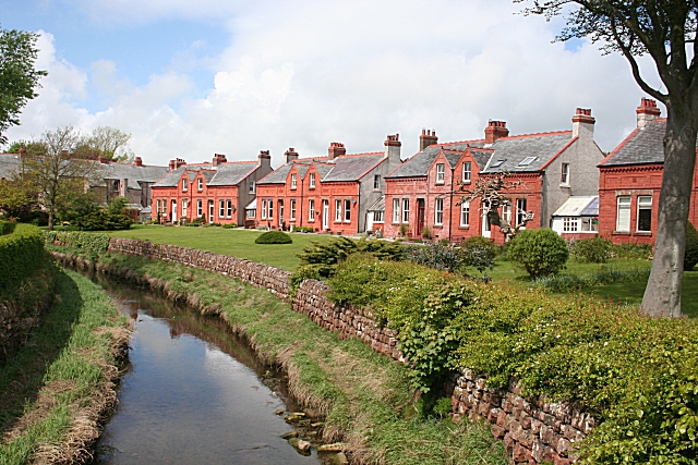
Image: © Anne Burgess Taken: 20 May 2009
These at Powfoot really are of a startling shade of red sandstone. In the foreground is the Pow Water.
Images are licensed for reuse under creativecommons.org/licenses/by-sa/2.0
Image Location
Latitude
54.979683
Longitude
-3.331516