Bloomfield Avenue
Introduction
The photograph on this page of Bloomfield Avenue by Dean Molyneaux as part of the Geograph project.
The Geograph project started in 2005 with the aim of publishing, organising and preserving representative images for every square kilometre of Great Britain, Ireland and the Isle of Man.

There are currently over 7.5m images from over 14,400 individuals and you can help contribute to the project by visiting https://www.geograph.org.uk
Bloomfield Avenue
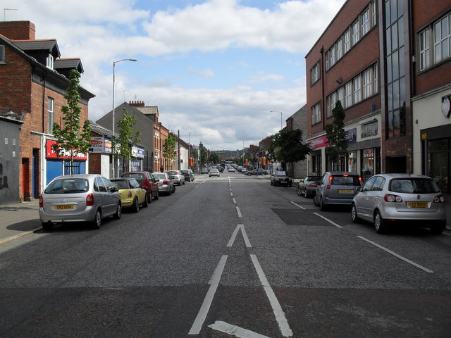
Image: © Dean Molyneaux Taken: 9 Jul 2009
Bloomfield Avenue links the Newtownards and Beersbridge Roads. Seen here from the Newtownards Roads.
Images are licensed for reuse under creativecommons.org/licenses/by-sa/2.0
Image Location
Latitude
54.597427
Longitude
-5.889369