Tal-y-bont old chapel
Introduction
The photograph on this page of Tal-y-bont old chapel by Jonathan Billinger as part of the Geograph project.
The Geograph project started in 2005 with the aim of publishing, organising and preserving representative images for every square kilometre of Great Britain, Ireland and the Isle of Man.

There are currently over 7.5m images from over 14,400 individuals and you can help contribute to the project by visiting https://www.geograph.org.uk
Tal-y-bont old chapel
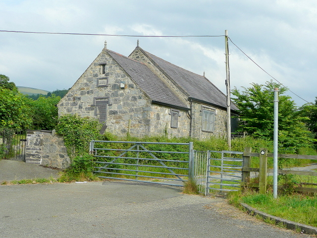
Image: © Jonathan Billinger Taken: 30 Jun 2009
Situated on the Ponc-y-lon adjacent to the A55. Dated 1868.
Images are licensed for reuse under creativecommons.org/licenses/by-sa/2.0
Image Location
Latitude
53.21323
Longitude
-4.083459