Hidden brook
Introduction
The photograph on this page of Hidden brook by Rob Farrow as part of the Geograph project.
The Geograph project started in 2005 with the aim of publishing, organising and preserving representative images for every square kilometre of Great Britain, Ireland and the Isle of Man.

There are currently over 7.5m images from over 14,400 individuals and you can help contribute to the project by visiting https://www.geograph.org.uk
Hidden brook
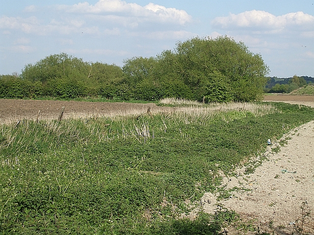
Image: © Rob Farrow Taken: 29 Apr 2009
The Ouzel Brook is so diminutive at this point that from most viewpoints it is practically invisible. But trust me, it is there, running in a little dip between the green vegetation and the fence posts. To actually see this magnificent watercourse, have a look at Image]
Images are licensed for reuse under creativecommons.org/licenses/by-sa/2.0
Image Location
Latitude
51.897376
Longitude
-0.590956