Kink in the Ouzel Brook
Introduction
The photograph on this page of Kink in the Ouzel Brook by Rob Farrow as part of the Geograph project.
The Geograph project started in 2005 with the aim of publishing, organising and preserving representative images for every square kilometre of Great Britain, Ireland and the Isle of Man.

There are currently over 7.5m images from over 14,400 individuals and you can help contribute to the project by visiting https://www.geograph.org.uk
Kink in the Ouzel Brook
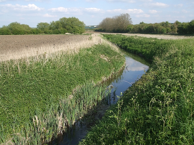
Image: © Rob Farrow Taken: 29 Apr 2009
Taken from the Stanbridge Road looking at a little kink in the Ouzel Brook. As can be seen, it is hardly a roaring torrent at this point. The direction of flow - or should that be trickle - is roughly westwards, that is towards the camera. In a few yards it will flow under the bridge seen in Image] it then continues westwards to join the River Ouzel near The Rye.
Images are licensed for reuse under creativecommons.org/licenses/by-sa/2.0
Image Location
Latitude
51.897368
Longitude
-0.59023