Tunstall old fire station
Introduction
The photograph on this page of Tunstall old fire station by Kevin Hale as part of the Geograph project.
The Geograph project started in 2005 with the aim of publishing, organising and preserving representative images for every square kilometre of Great Britain, Ireland and the Isle of Man.

There are currently over 7.5m images from over 14,400 individuals and you can help contribute to the project by visiting https://www.geograph.org.uk
Tunstall old fire station
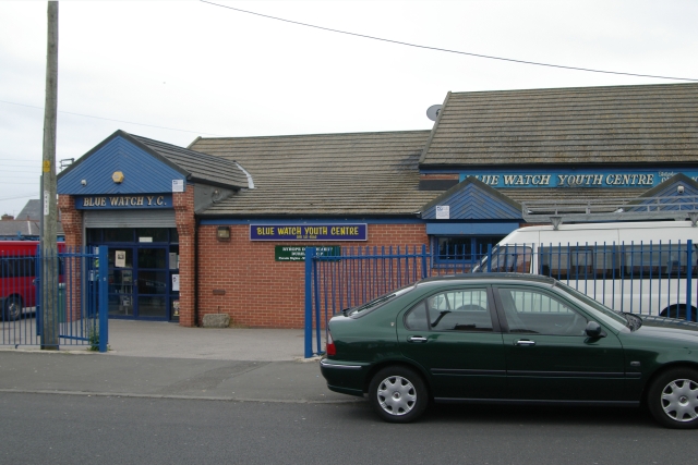
Image: © Kevin Hale Taken: 4 Jun 2009
Tunstall old fire station, Burdon Lane, Tunstall, Tyne & Wear, now used as the Blue Watch Youth Centre
Images are licensed for reuse under creativecommons.org/licenses/by-sa/2.0
Image Location
Latitude
54.869388
Longitude
-1.367552