Affordable housing development, Lower Slackbuie
Introduction
The photograph on this page of Affordable housing development, Lower Slackbuie by E Sandland as part of the Geograph project.
The Geograph project started in 2005 with the aim of publishing, organising and preserving representative images for every square kilometre of Great Britain, Ireland and the Isle of Man.

There are currently over 7.5m images from over 14,400 individuals and you can help contribute to the project by visiting https://www.geograph.org.uk
Affordable housing development, Lower Slackbuie
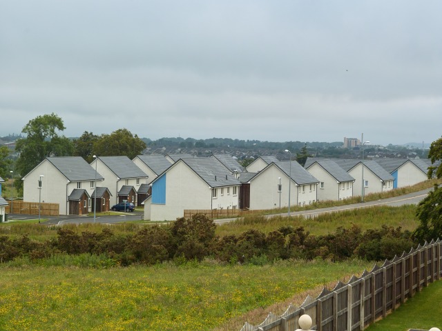
Image: © E Sandland Taken: 24 Jun 2009
The Highland Council makes it a planning requirement that all new housing developments in the private sector of 10 or more homes must contain 25% affordable homes.
Images are licensed for reuse under creativecommons.org/licenses/by-sa/2.0
Image Location
Latitude
57.447204
Longitude
-4.214344