Beverley Hills, Bangor
Introduction
The photograph on this page of Beverley Hills, Bangor by Rossographer as part of the Geograph project.
The Geograph project started in 2005 with the aim of publishing, organising and preserving representative images for every square kilometre of Great Britain, Ireland and the Isle of Man.

There are currently over 7.5m images from over 14,400 individuals and you can help contribute to the project by visiting https://www.geograph.org.uk
Beverley Hills, Bangor
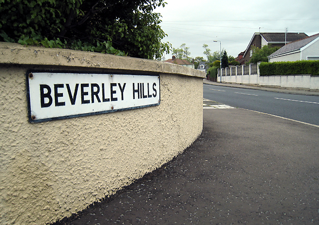
Image: © Rossographer Taken: 20 Jun 2009
One of several areas in Bangor named after famous American streets. Beverley Hills was developed around the 1920s/1930s, coinciding with the American cinematic influences of the age. Marcus Patton http://www.worldcat.org/isbn/090045752X records that "the road was developed on the line of a lane that originally led to the farm of Samuel Johnson, whose wife Amy was a devotee of the silver screen".
Images are licensed for reuse under creativecommons.org/licenses/by-sa/2.0
Image Location
Latitude
54.660861
Longitude
-5.650335