Bells Bridge, Cregagh Road
Introduction
The photograph on this page of Bells Bridge, Cregagh Road by Dean Molyneaux as part of the Geograph project.
The Geograph project started in 2005 with the aim of publishing, organising and preserving representative images for every square kilometre of Great Britain, Ireland and the Isle of Man.

There are currently over 7.5m images from over 14,400 individuals and you can help contribute to the project by visiting https://www.geograph.org.uk
Bells Bridge, Cregagh Road
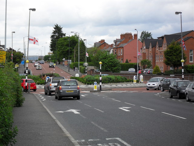
Image: © Dean Molyneaux Taken: 9 Jul 2009
This is Bells Bridge Roundabout which was constructed in the 1940s in line with Ladas Drive and Mount Merrion Avenue - which at that time formed part of a ring road around the outside of the city. I presume at one point there was a bridge near here - as the Loop River passes nearby. This is also the municipal boundary between Belfast City and the Borough of Castlereagh.
Images are licensed for reuse under creativecommons.org/licenses/by-sa/2.0
Image Location
Latitude
54.579045
Longitude
-5.896662