Coronation Terrace
Introduction
The photograph on this page of Coronation Terrace by Roger A Smith as part of the Geograph project.
The Geograph project started in 2005 with the aim of publishing, organising and preserving representative images for every square kilometre of Great Britain, Ireland and the Isle of Man.

There are currently over 7.5m images from over 14,400 individuals and you can help contribute to the project by visiting https://www.geograph.org.uk
Coronation Terrace
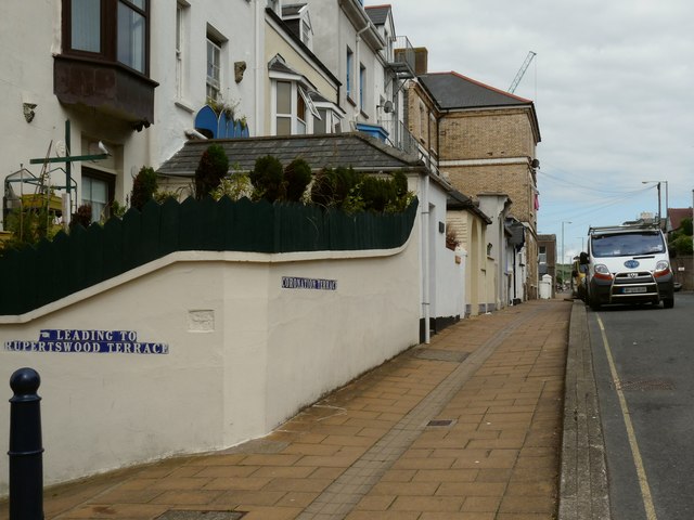
Image: © Roger A Smith Taken: 8 Jul 2009
Ilfracombe has many Terraces which behave as streets with regard to the address system but are not usually marked on street maps.
Images are licensed for reuse under creativecommons.org/licenses/by-sa/2.0
Image Location


Leaflet Map data © OpenStreetMap
Latitude
51.208808
Longitude
-4.116257