Beaudesert
Introduction
The photograph on this page of Beaudesert by David Stowell as part of the Geograph project.
The Geograph project started in 2005 with the aim of publishing, organising and preserving representative images for every square kilometre of Great Britain, Ireland and the Isle of Man.

There are currently over 7.5m images from over 14,400 individuals and you can help contribute to the project by visiting https://www.geograph.org.uk
Beaudesert
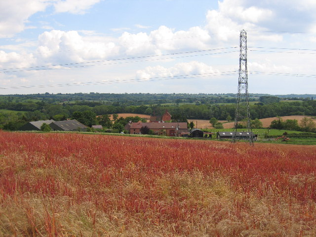
Image: © David Stowell Taken: 30 May 2005
Looking south from above Ireland's Farm, seen at the foot of the hill. The trees in the middle distance are on the embankment of the long disused original railway to Henley-in-Arden from Rowington Junction.
Images are licensed for reuse under creativecommons.org/licenses/by-sa/2.0
Image Location


Leaflet Map data © OpenStreetMap
Latitude
52.310761
Longitude
-1.756468