Moorland above Tarbert
Introduction
The photograph on this page of Moorland above Tarbert by Dave Fergusson as part of the Geograph project.
The Geograph project started in 2005 with the aim of publishing, organising and preserving representative images for every square kilometre of Great Britain, Ireland and the Isle of Man.

There are currently over 7.5m images from over 14,400 individuals and you can help contribute to the project by visiting https://www.geograph.org.uk
Moorland above Tarbert
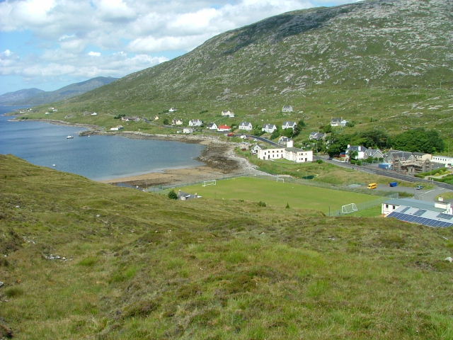
Image: © Dave Fergusson Taken: 5 Jul 2009
Looking towards Loch a Siar and the football pitch beside the junior secondary school. The cream-coloured concrete carbuncle is the Old Hostel. This was once used to house the school kids that couldn't get home every night from classes -in the days when there were poor roads and no public transport. The Hostel is now the hub for community-related organisations including the Council, Harris Voluntary Services, North Harris Trust and the dentist and school canteen. It is scheduled to be demolished in the near future following a major redevelopment of Sir E Scott school.
Images are licensed for reuse under creativecommons.org/licenses/by-sa/2.0
Image Location
Latitude
57.900344
Longitude
-6.815609