Coventry - Coundon
Introduction
The photograph on this page of Coventry - Coundon by Ian Rob as part of the Geograph project.
The Geograph project started in 2005 with the aim of publishing, organising and preserving representative images for every square kilometre of Great Britain, Ireland and the Isle of Man.

There are currently over 7.5m images from over 14,400 individuals and you can help contribute to the project by visiting https://www.geograph.org.uk
Coventry - Coundon
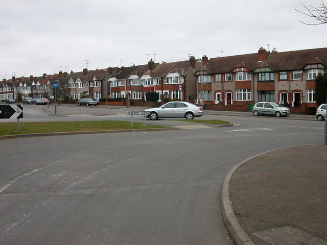
Image: © Ian Rob Taken: 19 Mar 2006
Duncroft Avenue at the entrance to Bablake Playing Fields which is home to Christ the King F.C., Old Wheatleyans R.F.C. and Bablake Old Boys Cricket Club.
Images are licensed for reuse under creativecommons.org/licenses/by-sa/2.0
Image Location
Latitude
52.427881
Longitude
-1.538163