Adeilad allanol Fish & Anchor outbuilding
Introduction
The photograph on this page of Adeilad allanol Fish & Anchor outbuilding by G Williams as part of the Geograph project.
The Geograph project started in 2005 with the aim of publishing, organising and preserving representative images for every square kilometre of Great Britain, Ireland and the Isle of Man.

There are currently over 7.5m images from over 14,400 individuals and you can help contribute to the project by visiting https://www.geograph.org.uk
Adeilad allanol Fish & Anchor outbuilding
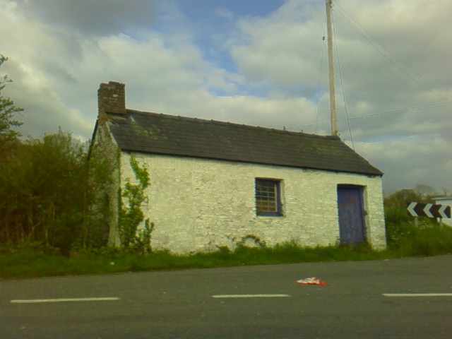
Image: © G Williams Taken: 2 May 2009
Adeilad ar gornel cyffyrdd T heol i Maestir yn ymuno a'r B4337 ------ Building on the corner of the road to Maestir's T Junction on the B4337
Images are licensed for reuse under creativecommons.org/licenses/by-sa/2.0
Image Location


Leaflet Map data © OpenStreetMap
Latitude
52.112703
Longitude
-4.148441