Field by the cycle trail
Introduction
The photograph on this page of Field by the cycle trail by Derek Harper as part of the Geograph project.
The Geograph project started in 2005 with the aim of publishing, organising and preserving representative images for every square kilometre of Great Britain, Ireland and the Isle of Man.

There are currently over 7.5m images from over 14,400 individuals and you can help contribute to the project by visiting https://www.geograph.org.uk
Field by the cycle trail
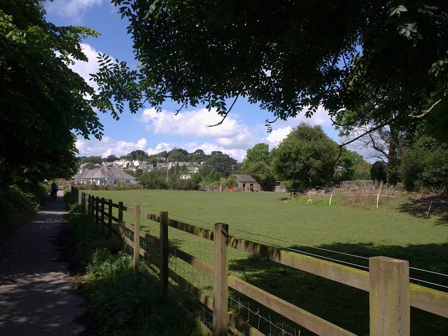
Image: © Derek Harper Taken: 3 Jul 2009
A narrow triangular field broadens on the right. NCN 3 runs on the left, separated from the B3273 by a narrow belt of trees. It will shortly turn right up Sawles Road.
Images are licensed for reuse under creativecommons.org/licenses/by-sa/2.0
Image Location
Latitude
50.330766
Longitude
-4.792233