Parkstone, Constitution Hill
Introduction
The photograph on this page of Parkstone, Constitution Hill by Mike Faherty as part of the Geograph project.
The Geograph project started in 2005 with the aim of publishing, organising and preserving representative images for every square kilometre of Great Britain, Ireland and the Isle of Man.

There are currently over 7.5m images from over 14,400 individuals and you can help contribute to the project by visiting https://www.geograph.org.uk
Parkstone, Constitution Hill
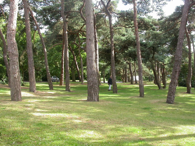
Image: © Mike Faherty Taken: 7 Jul 2009
At the top of Upper Parkstone, there is a steep descent to Lower Parkstone. Between Constitution Hill & North Roads lies this patch of pine woodland. There is a covered reservoir, without signage, to the right behind the bushes. http://www.boroughofpoole.com/go.php?structureID=facilities&ref=F465e9bc75ff03&settextonly=on
Images are licensed for reuse under creativecommons.org/licenses/by-sa/2.0
Image Location
Latitude
50.730488
Longitude
-1.953332